
Wildfires
Gain a real-time aerial view of fast-moving wildfire incidents with DJI Enterprise drone solutions. Thermal and visual intelligence help teams identify hotspots, monitor fire progression and coordinate resources across large and difficult terrain.
Intelligence Across the Fireground
Thermal Hotspot Detection
Identify active heat sources and residual hotspots that may not be clearly visible from the ground.
Wide-Area Monitoring
Survey large wildfire zones from above and track changing fire conditions in real time.
Resource Coordination
Provide incident commanders with aerial intelligence to support deployment of crews and equipment.
Day & Night Operations
Maintain awareness during low-light operations with thermal and enhanced night-imaging capabilities.
Built for Wildfire Response
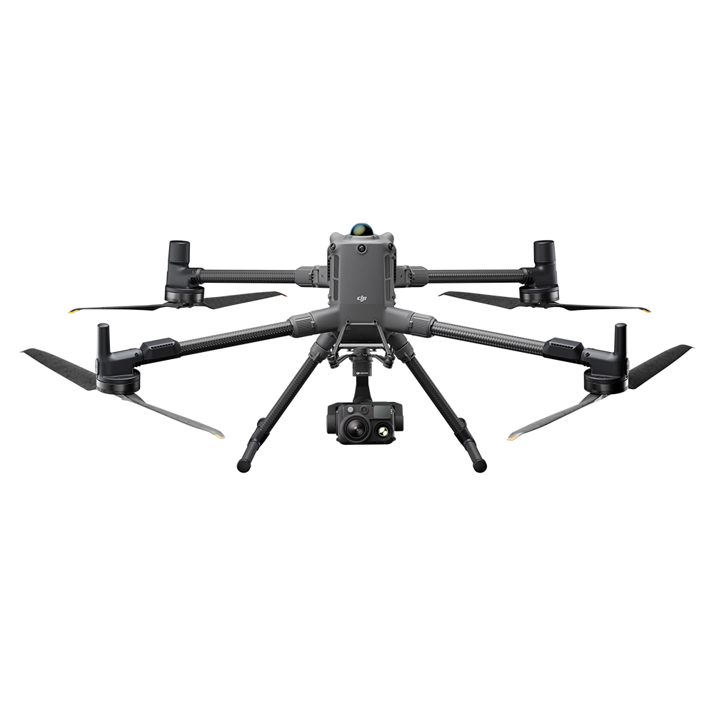
DJI Matrice 400 + Zenmuse H30T
A high-performance platform for large-scale wildfire operations, combining extended flight endurance with high-resolution thermal imaging, powerful zoom and long-range laser measurement for monitoring complex fire zones.
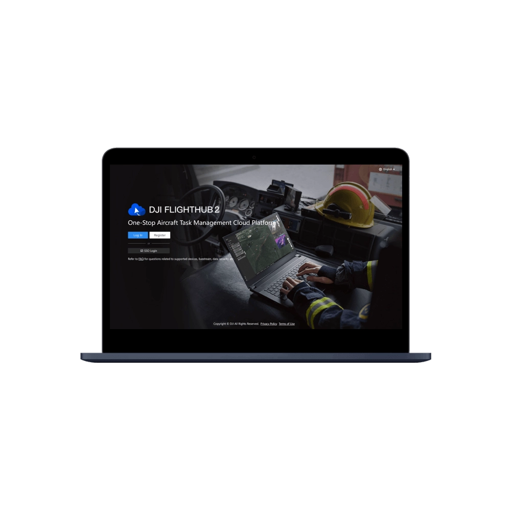
DJI FlightHub 2
Share live aerial information between field teams and command centers, helping personnel maintain a common operational picture and coordinate response efforts across large affected areas.
Gain a Clearer View of the Fireground
Support faster assessment, safer operations and better resource coordination with DJI Enterprise wildfire response solutions.