
Disaster Response
Gain rapid aerial intelligence before, during and after natural disasters with DJI Enterprise drone solutions. Visual, thermal and mapping capabilities help response teams assess affected areas, identify hazards and coordinate relief efforts across difficult terrain.
Critical Intelligence When Every Minute Matters
Rapid Damage Assessment
Survey affected areas from above to understand the scale of damage and identify priority zones.
Visual & Thermal Reconnaissance
Use high-resolution visual and thermal imaging to assess hazards, hotspots and areas that may be difficult to access from the ground.
2D & 3D Disaster Mapping
Create updated maps and digital models to support planning, damage assessment and recovery operations.
Live Response Coordination
Share aerial imagery, locations and mission information with command teams and responders to improve coordination.
Built for Disaster Response
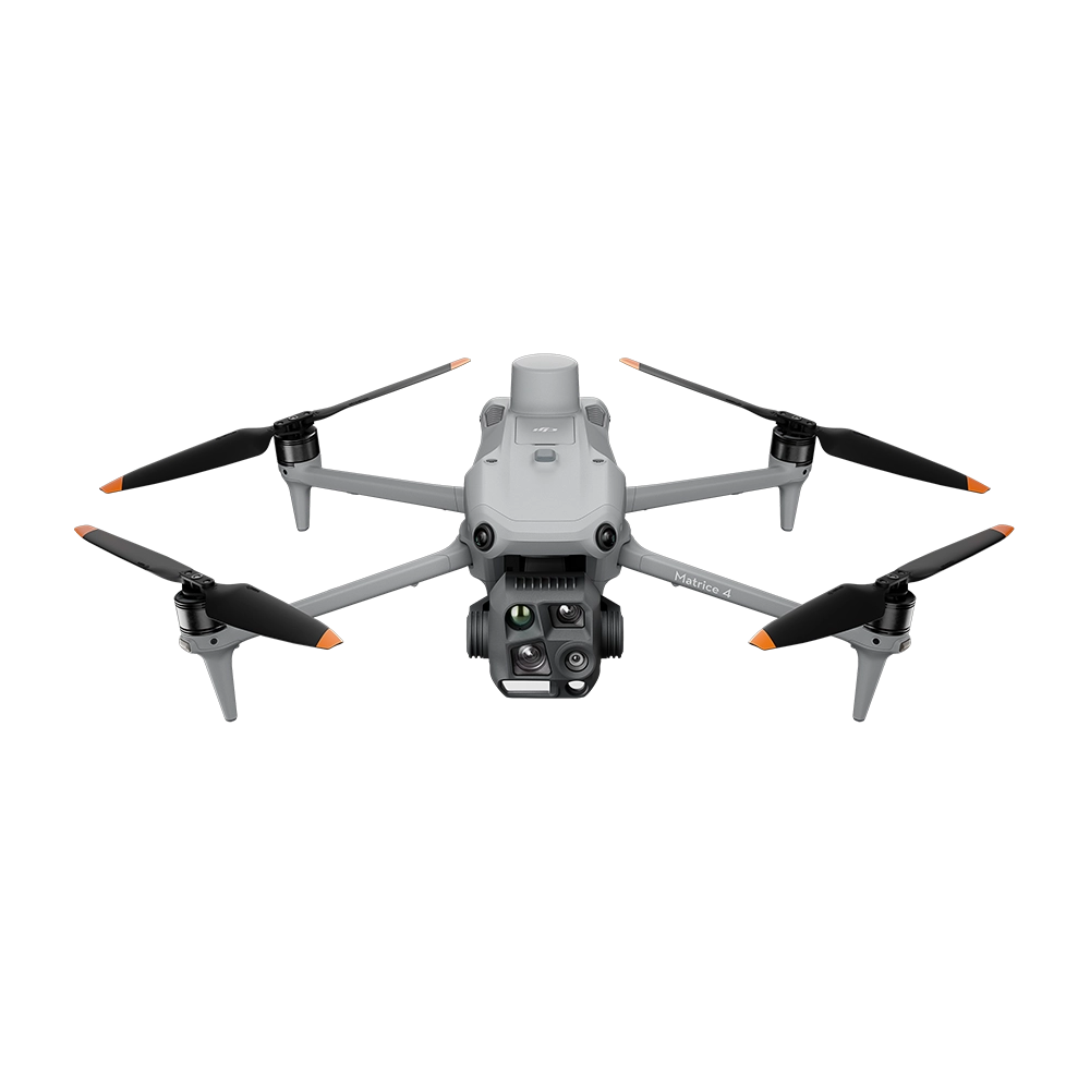
DJI Matrice 4T
A portable multi-sensor platform combining visual, thermal and laser-rangefinding capabilities for fast deployment and initial assessment of disaster-affected areas.
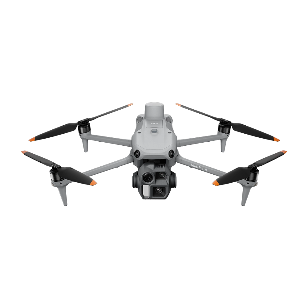
DJI Matrice 4E + DJI Terra
Capture high-resolution aerial data and convert it into detailed 2D maps and 3D models for terrain analysis, damage assessment and recovery planning.

DJI FlightHub 2
Bring live aerial feeds, mission information and location data into a shared operational environment so field teams and command personnel can work from the same information.
Respond With a Clearer Picture
Equip emergency teams with aerial intelligence for faster assessment, safer operations and better-coordinated disaster response.