
Collision Reconstruction
Document collision and forensic scenes quickly with DJI Enterprise aerial mapping solutions. High-resolution imagery and accurate 2D and 3D reconstruction help teams preserve critical scene information while reducing time spent working in active roadways.
Faster, Safer Scene Documentation
Rapid Data Collection
Capture a complete collision scene from the air in significantly less time than traditional manual documentation methods.
Accurate 2D & 3D Reconstruction
Create detailed digital models of the scene for measurement, analysis and later review.
Reduced Road Exposure
Collect scene data remotely, helping reduce the time personnel spend working around active traffic.
Digital Scene Preservation
Preserve a realistic digital record that can be revisited for forensic analysis, reporting and investigation.
Complete Collision Reconstruction Workflow
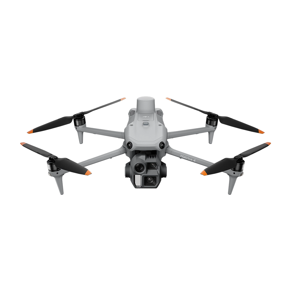
DJI Matrice 4E
A compact mapping platform with a 20 MP 4/3-inch camera, mechanical shutter and RTK capability, designed for fast and accurate scene documentation.
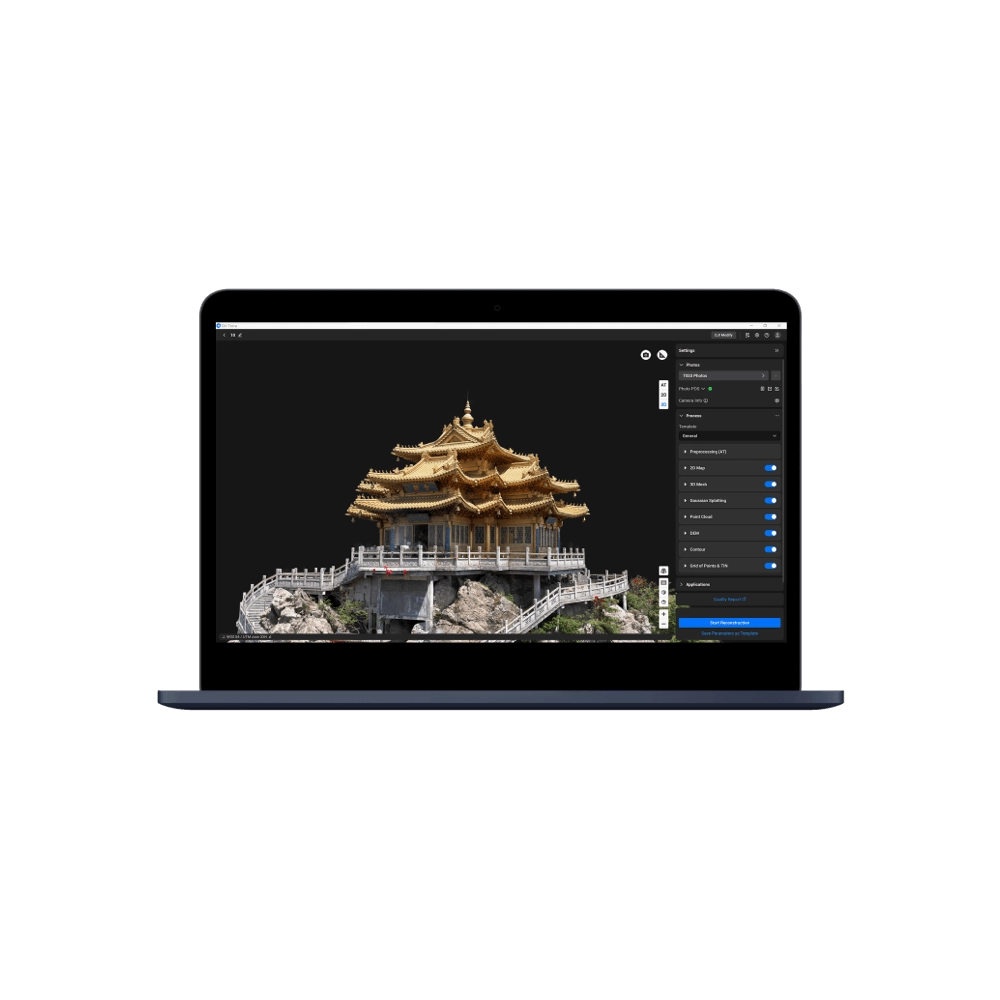
DJI Terra
Process captured imagery into detailed 2D maps and 3D reconstructions for measurement, documentation and forensic analysis.

DJI Modify
Clean and improve reconstructed models by removing unwanted elements and refining the final digital representation for clearer analysis and presentation.
Document Every Detail From Above
Build a faster and more efficient collision reconstruction workflow with DJI Enterprise mapping and reconstruction solutions.